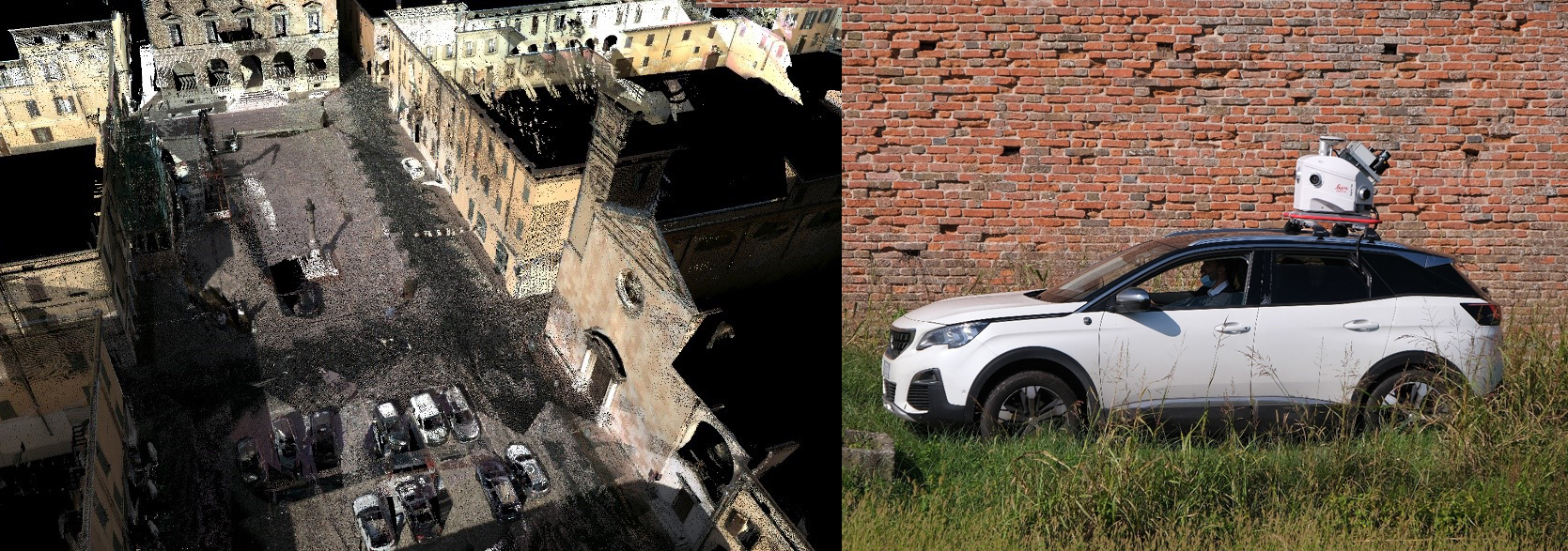
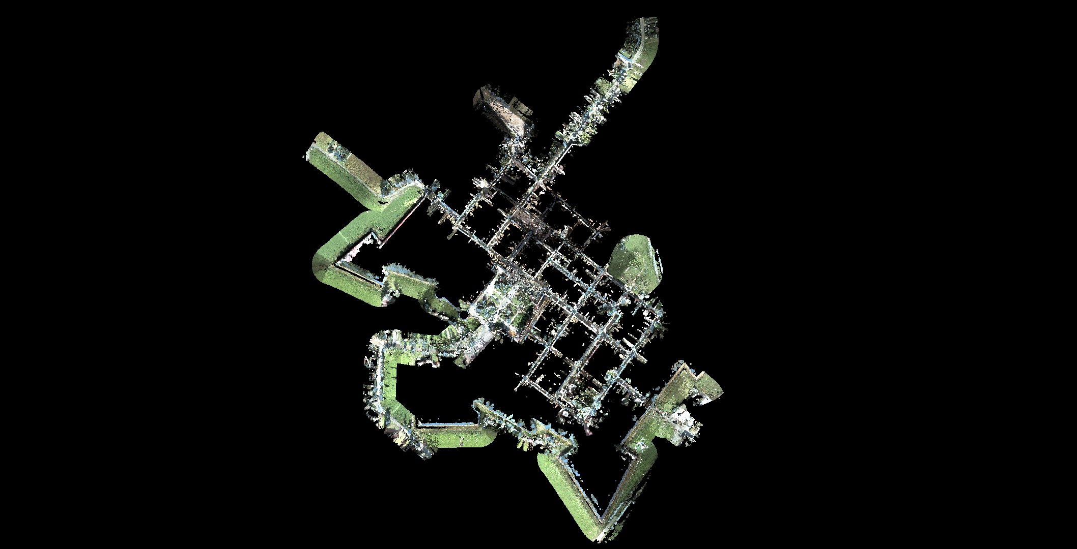
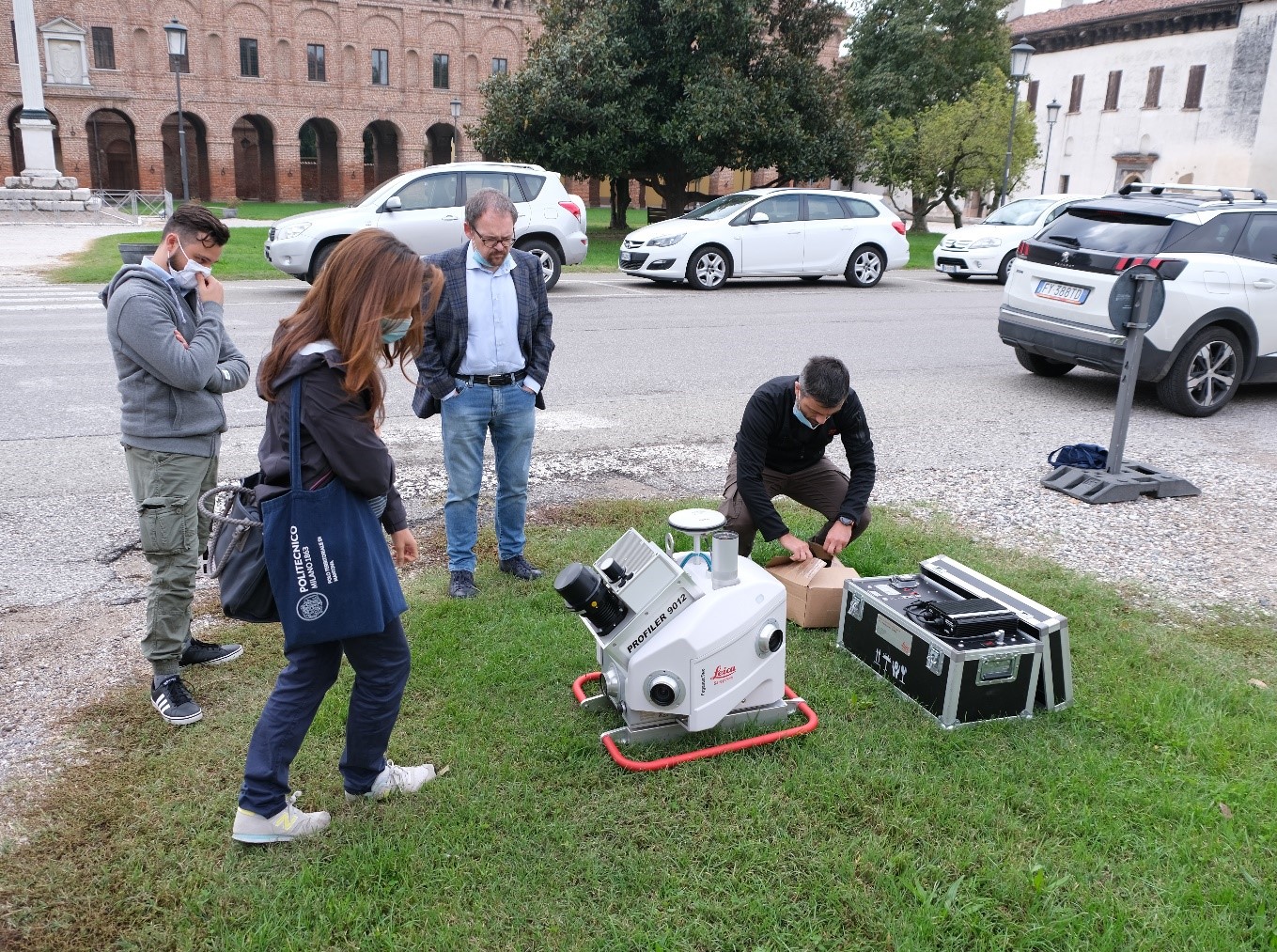
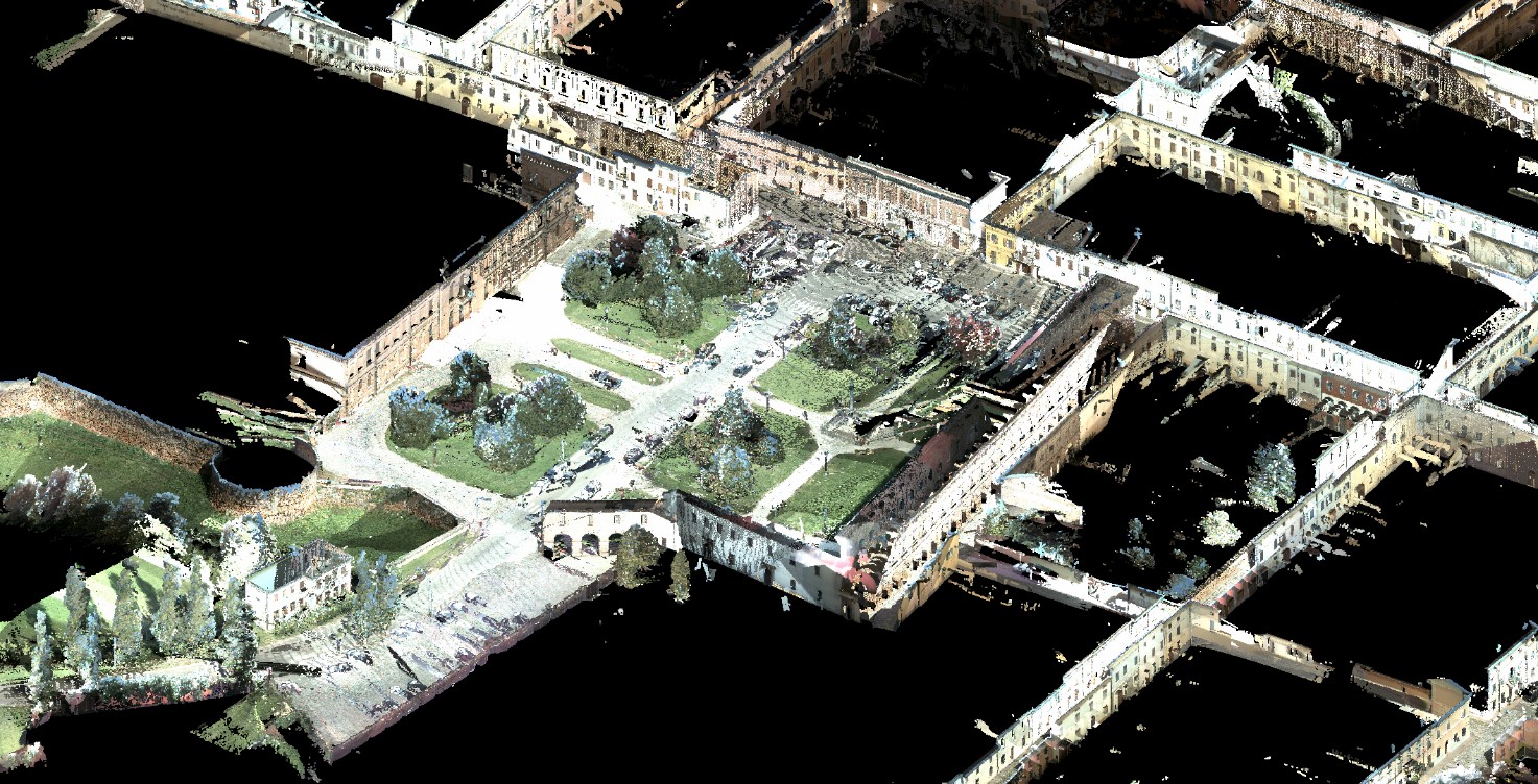
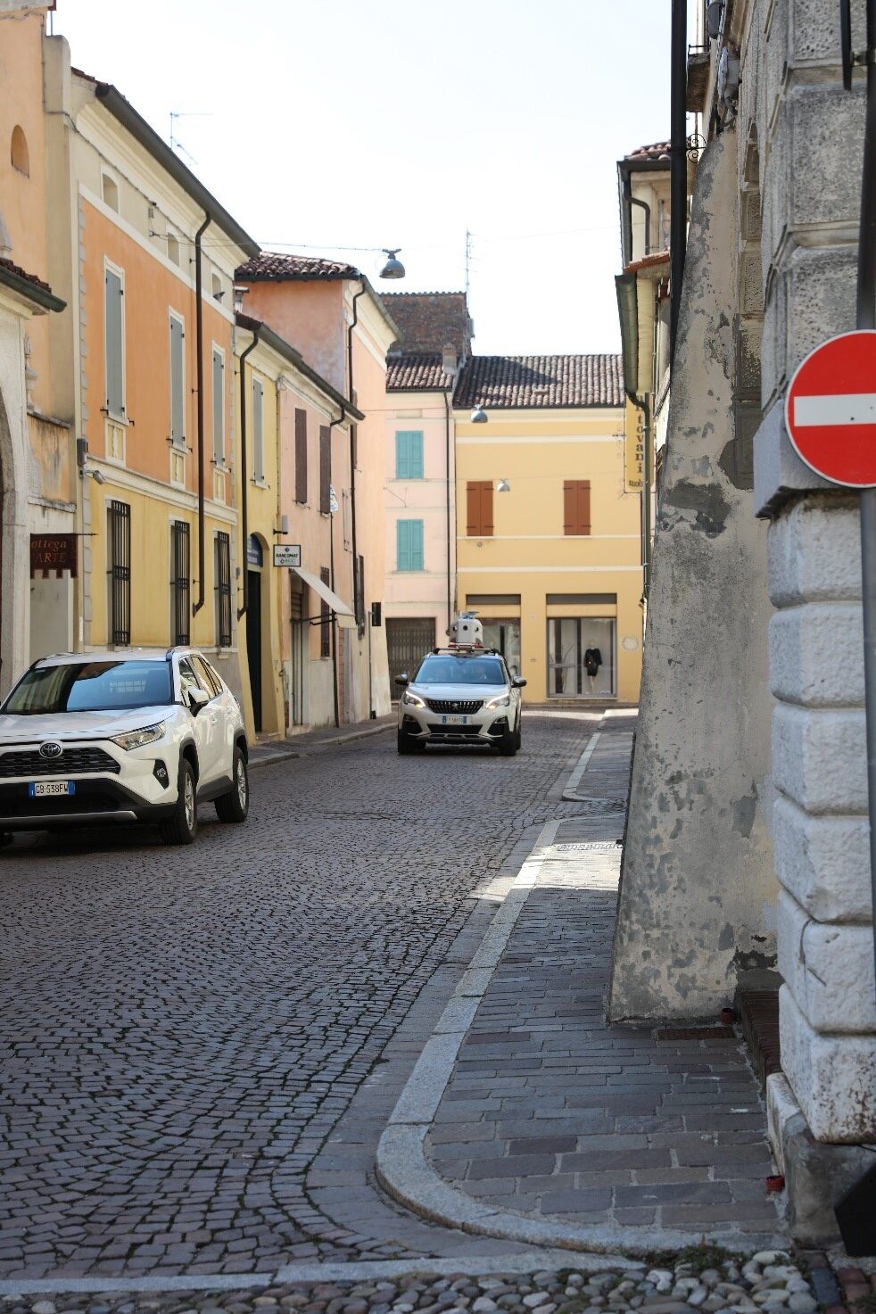
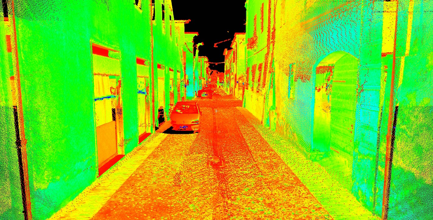
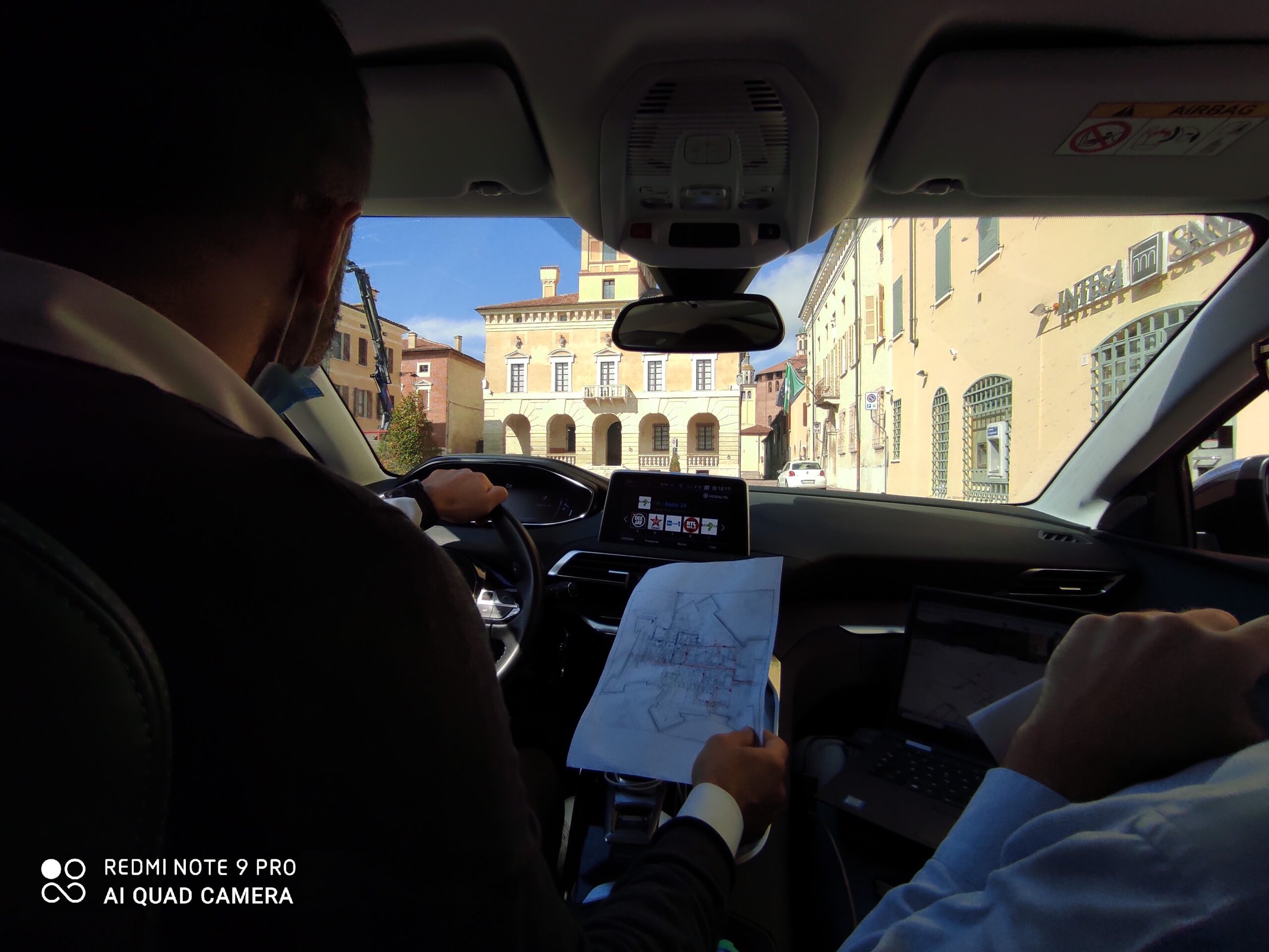
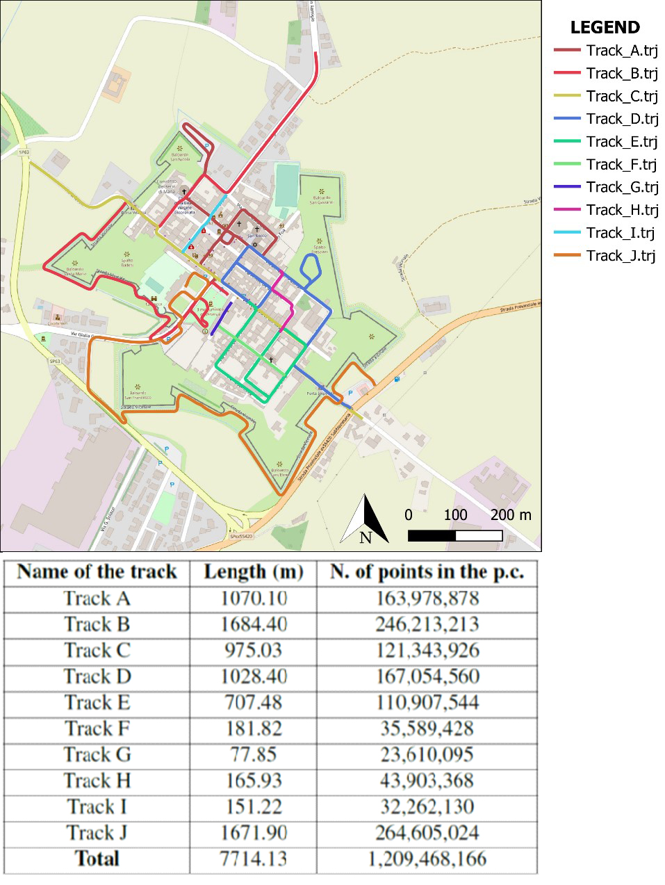
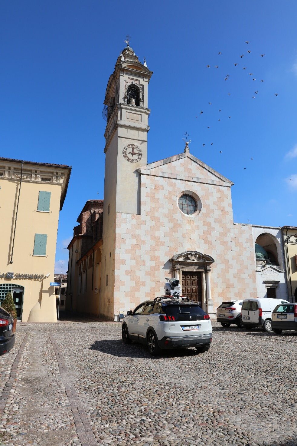
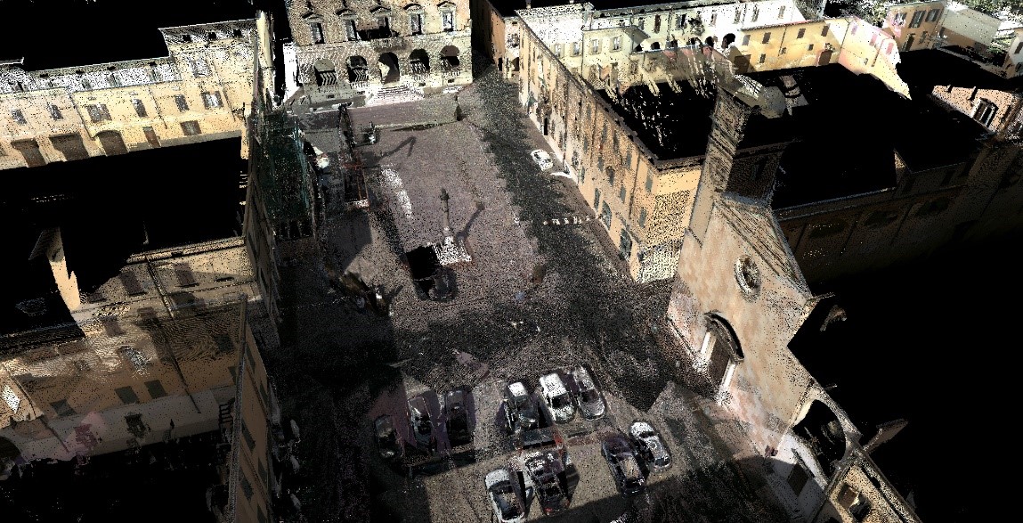
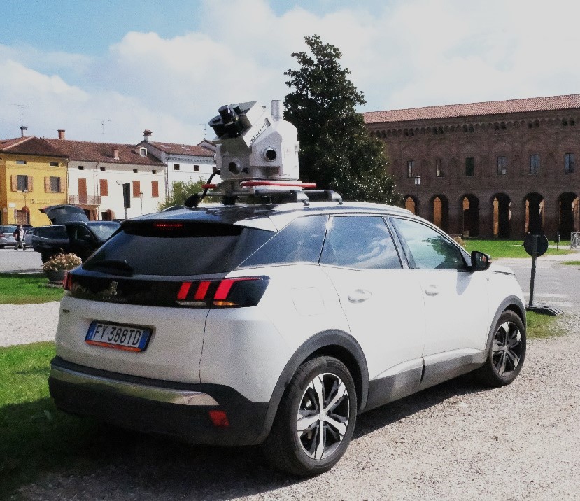
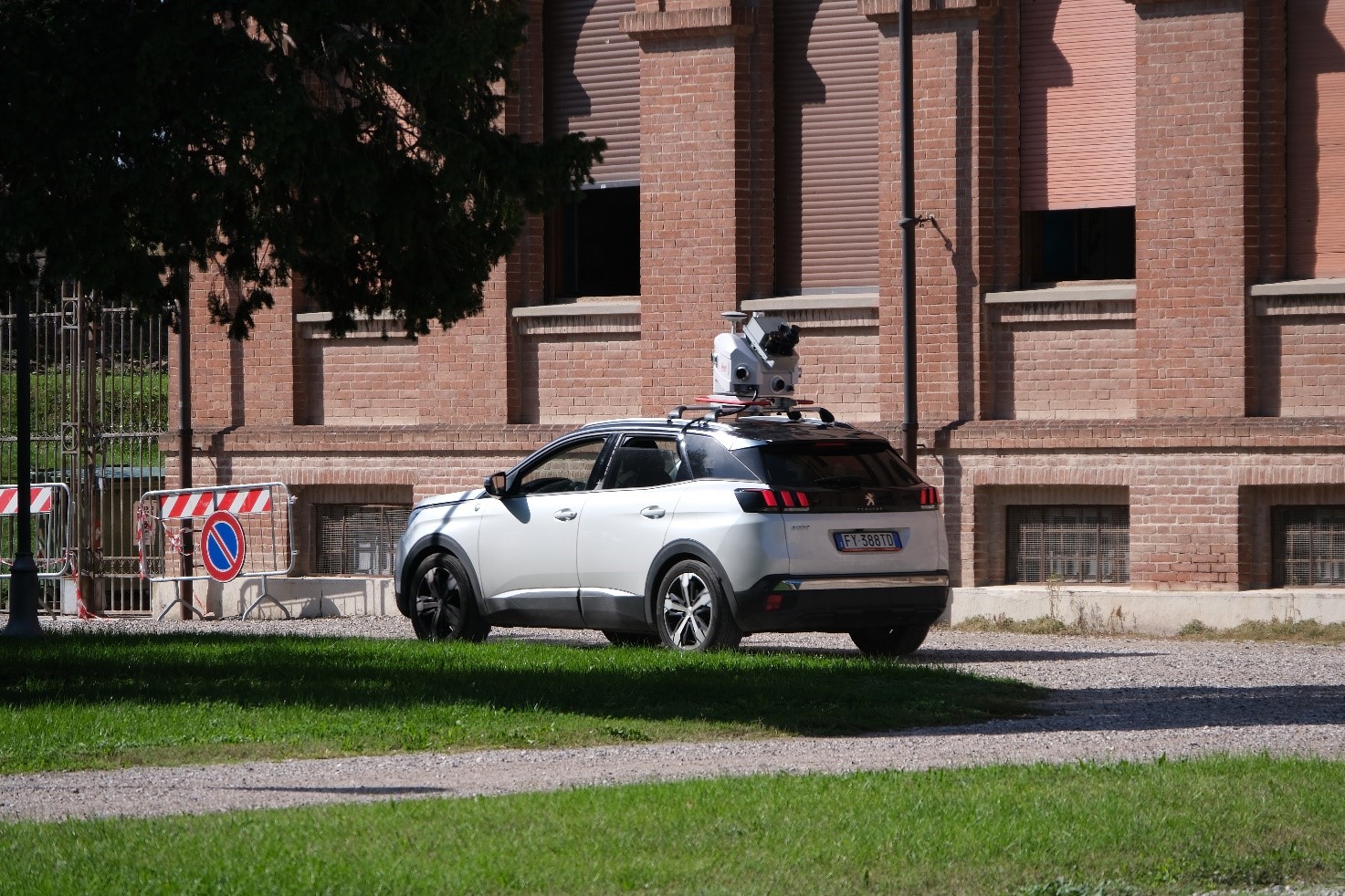
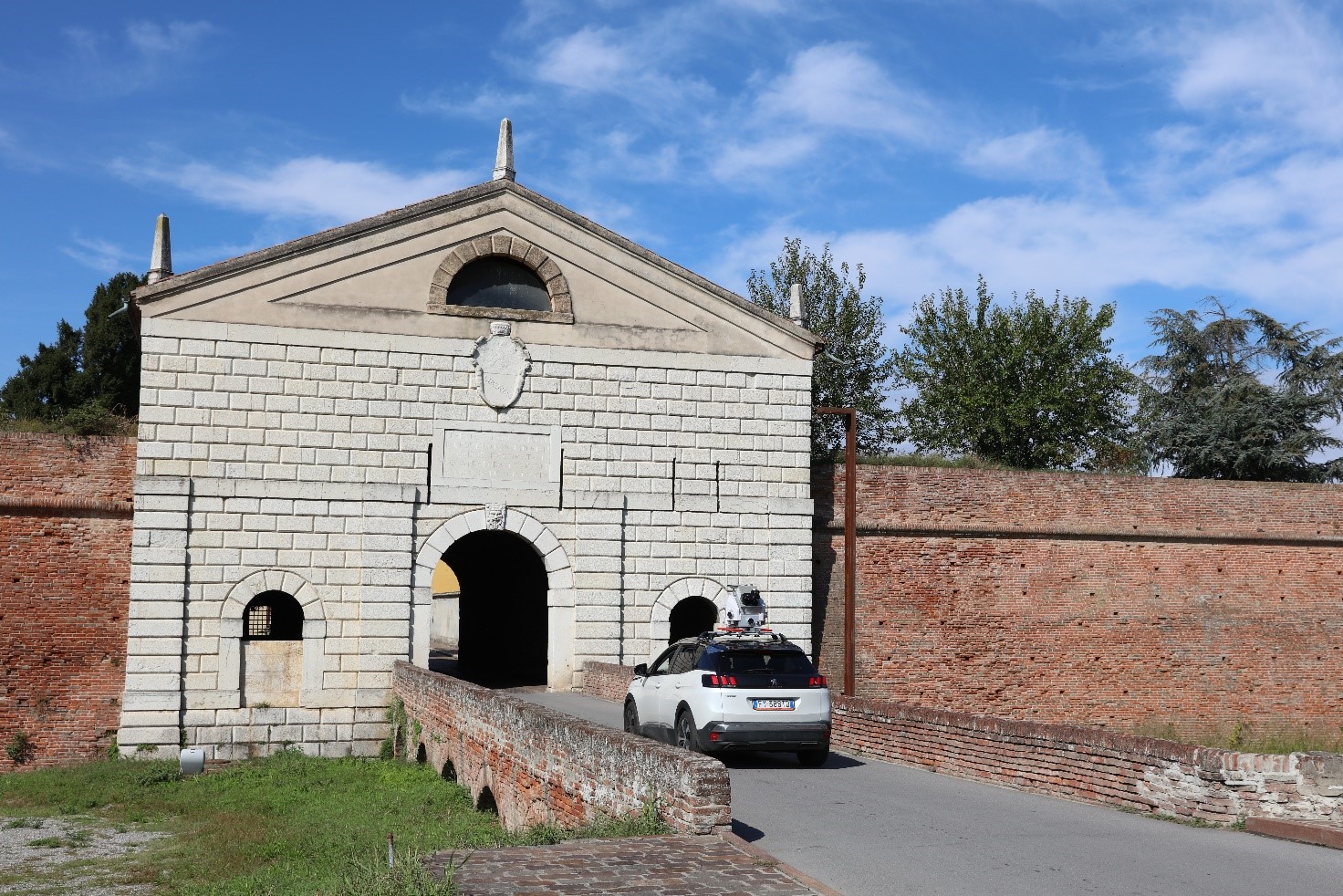
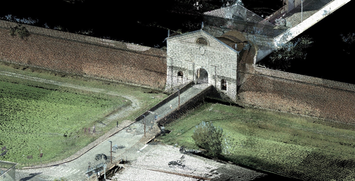
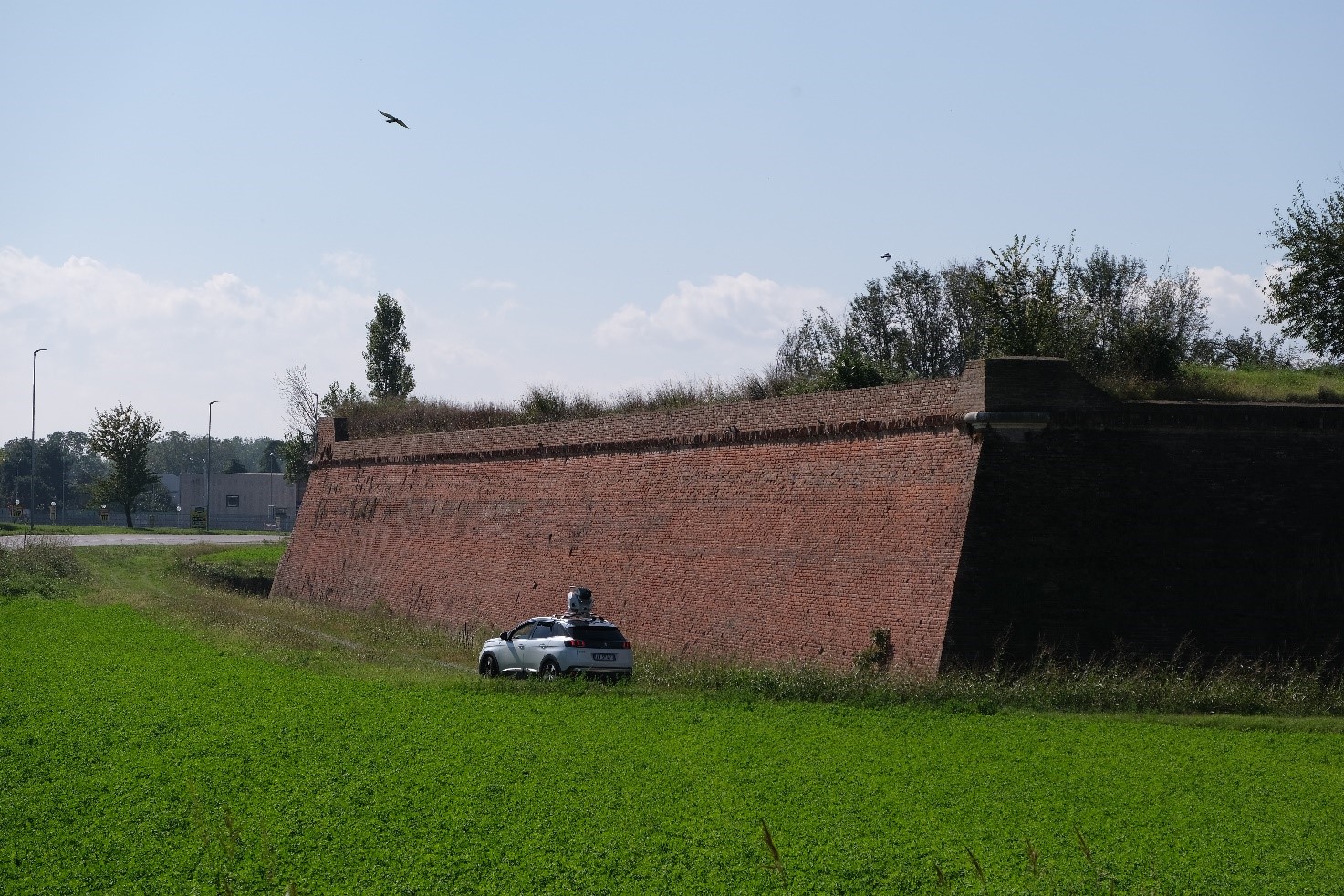
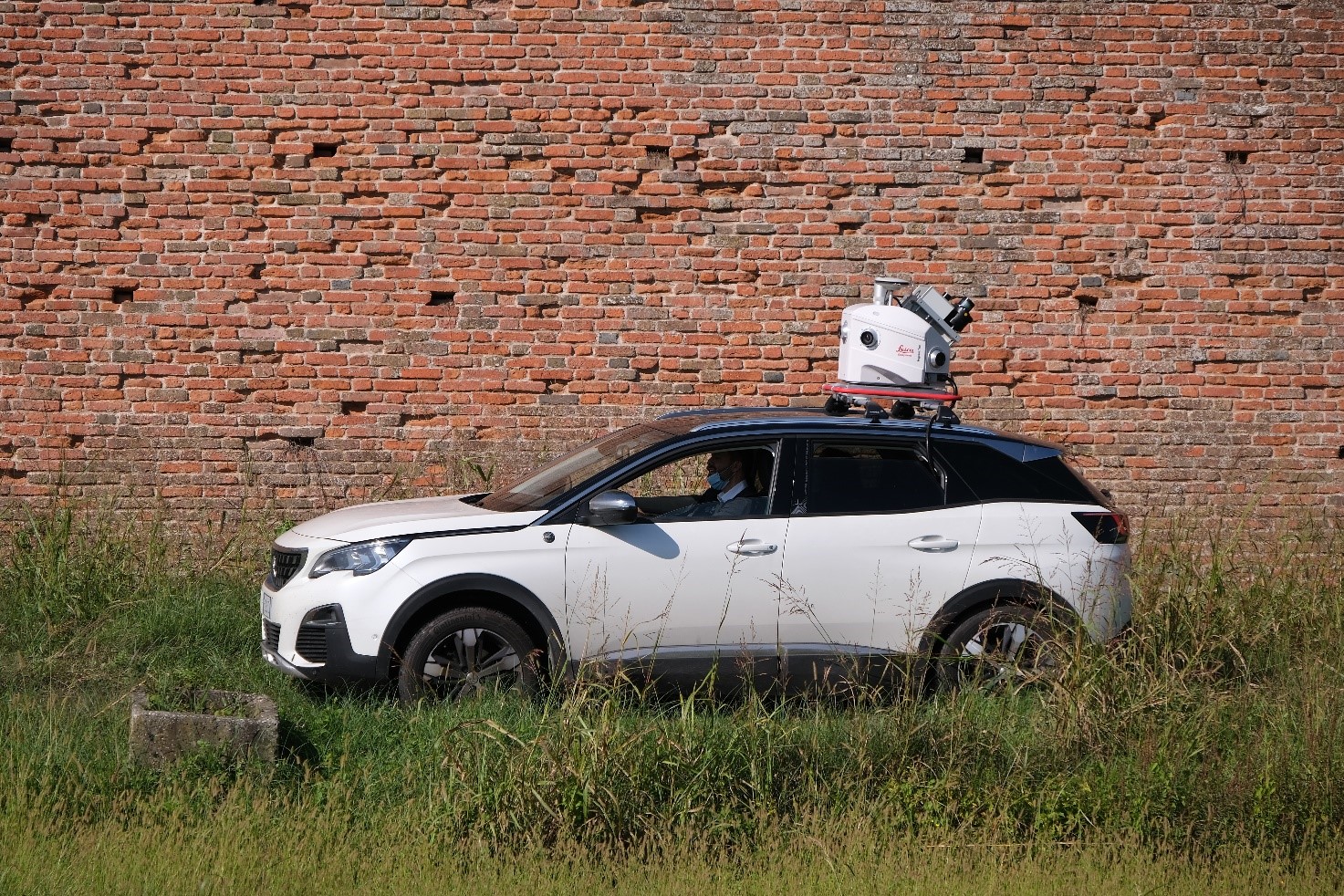
He.Su.Tech. group members had the opportunity of testing on field a state-of-the-art survey instruments, the mobile mapping system Leica Pegasus:Two. The object of the survey was the historic city and UNESCO site of Sabbioneta. Leica Geosystem Italia kindly provided the instruments to support the researches of Hesutech. In specific, the purpose of the research connected to this survey was the exploitation of AI for the processing of the survey data and for the automatic computation of meaningful urban physical accessibility information of the historic urban environment. This is an active line of research, and the thesis topic of a PhD candidate who collaborate with Hesutech group. The instrument was mounted on top of a car, and the survey was conducted in less than one hour by exploiting 10 acquisition tracks around the whole city; 7.7 kilometres of roads and urban environment were surveyed. The resulting point cloud was composed of 1.2 billion of measured points.

